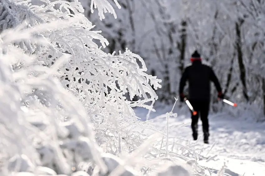
In Germany’s Alps and upland regions, snow depths reached up to 20 centimetres on Monday morning – well above the seasonal average for November, and far more than in recent years when ski resorts often had to wait until at least December for reliable snow.
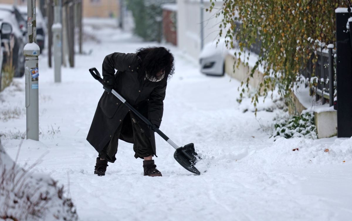
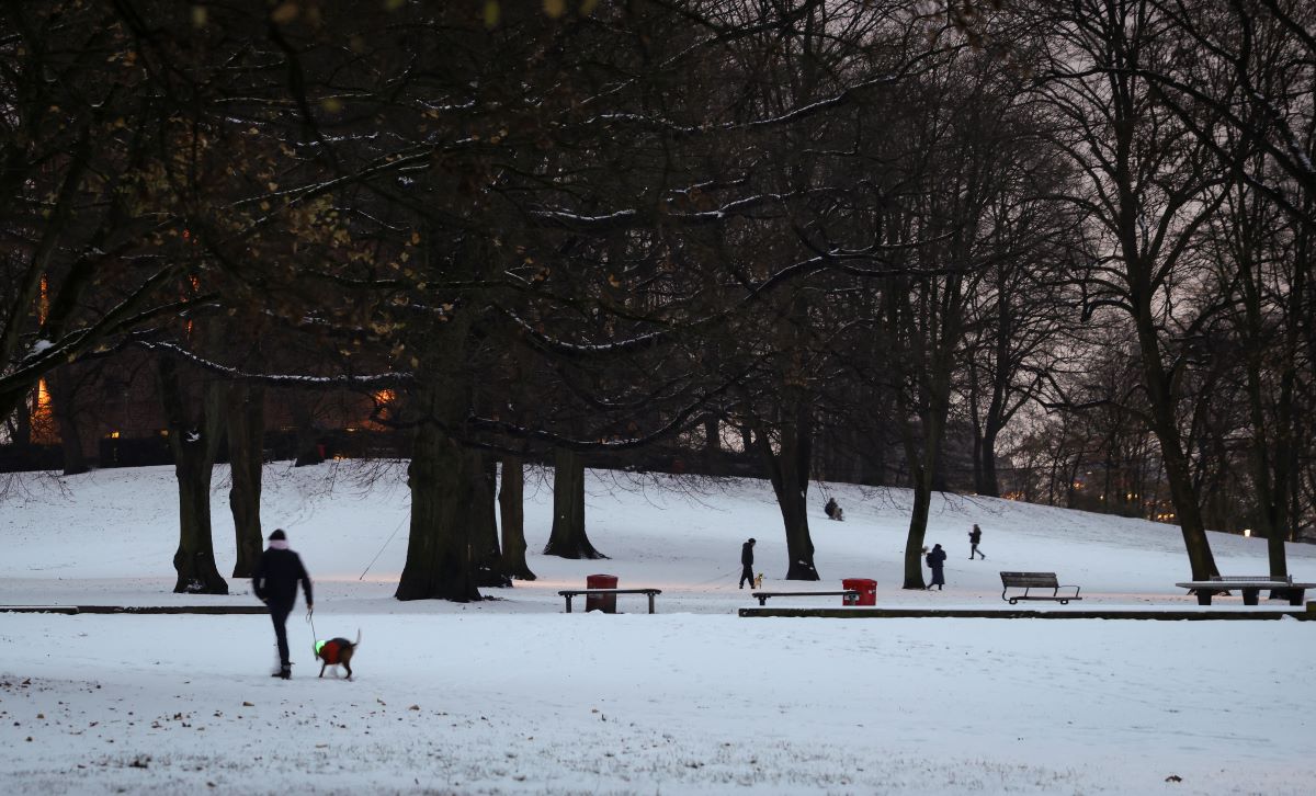
As the first snowball fights erupted in parks and playgrounds across Germany, ski resort operators no doubt breathed a sigh of relief, welcoming the early boost to their season. But for commuters and travellers, the cold snap brought less joy, causing widespread transport chaos and a flurry of accidents on icy roads.
Following a series of mild Novembers, it has become rare for so much snow to fall in Germany this early in the season.
Colloquially, many people speak of winter beginning around this time, especially once temperatures have dropped enough to require thick winter wear outside, but officially the winter season begins with the winter solstice around December 21st.
Where did the snow fall?
Snowfall over the weekend was widespread, with significant accumulations reported from Bavaria to Schleswig-Holstein.
According to the German Weather Service’s (DWD's) snow depth table, some regions saw several centimetres of snow, particularly in the south and southeast.
For example, the Bavarian Alps and Black Forest recorded up to 20 centimetres of fresh snow, compared to the usual five to ten centimetres for November.
Even lower-lying areas saw a better dusting than has been had in recent years. Historical data shows that, in the past decade, November snow has often been patchy and brief, with many regions seeing little or none before December.
This year’s early onset is attributed to a stable high-pressure system over northern Europe, funnelling cold Arctic air into Germany and creating ideal conditions for snow.
READ ALSO: Christmas calendar - All the German holiday traditions you wont want to miss
Sudden cold snap over Europe
Meteorologists had warned of the cold snap days in advance, thanks to the presence of a persistent “polar vortex” and a sudden shift from subtropical to arctic air masses.
Weather expert Karsten Brandt described it as “an arctic outbreak,” with temperatures dropping as low as minus 15C in some regions – levels more typical of January than November.
More widely across Germany, temperatures ranged between about 4C and -3C in lower elevations, with night-time lows dropping below freezing in many areas.
The German Weather Service (DWD) has issued ongoing warnings for further snowfall, freezing rain and traffic disruptions, especially in Bavaria and Baden-Württemberg.
READ ALSO: What you need to know about changing to winter tyres in Germany
Transport chaos
The arrival of winter weather has not been without incident. Ice and snow on the roads have led to numerous accidents across Germany.
Tragically, at least three people have died and many more have been injured, with the A93 motorway near Maxhütte-Haidhof in Bavaria particularly badly affected.
In central Hesse, 38 accidents were reported overnight, resulting in nine injuries. Black ice caused chaos on the A7 in Schleswig-Holstein, while trucks skidded off the road in Middle Franconia and near Schnaittach, leading to brief closures.
Air travel was also disrupted, with flight operations at Cologne/Bonn Airport suspended for 45 minutes due to black ice.
In Würzburg, local bus services were halted for the night, though trams continued to run.
Police in Bavaria and Lower Saxony noted that it was the first truly snowy night of the winter and warned that further incidents could occur as the cold weather persists.
What next for Germany’s winter?
The DWD continues to warn of hazardous conditions, with further snowfall and freezing rain expected, especially in the south and southeast.
Forecasts suggest that the wintry weather will remain for days, with temperatures below freezing likely to be the norm in many regions.
READ ALSO: German word of the day - Winterfest
Some long-term winter outlooks for Germany in 2025 have predicted a potential "Winter of the Century" (Jahrhundertwinter), but meteorologists caution that this scenario remains speculative.
While the combination of a weak polar vortex and La Niña reportedly raises the odds of a colder winter than in recent years, it does not guarantee record-breaking cold or a true century winter, according to the experts.
Climate models point to increased cold risks but emphasise variability and localised extremes rather than uniform severe conditions over an extended period of time.
Comments