Germany had been bracing for its next heatwave, but a sudden shift means you should keep your rain jacket handy instead.
Since mid-Tuesday several regions in Germany have been hit by severe storms including parts of Thuringia, Saxony, Saxony-Anhalt, Berlin and Brandenburg.
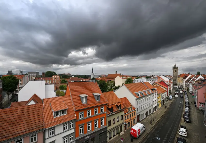
Scattered showers and thunderstorms are expected to continue across much of Germany on Wednesday, with particularly heavy rain expected in the eastern half of northern Bavaria, according to the German weather service (DWD).
As of about 1 p.m. on Wednesday, the DWD has wind warnings in place across the southern half of Germany, and thunderstorm warnings in in place in the west from Düsseldorf to Hanover, west of Berlin in Saxony-Anhalt and Brandenburg, and in places along Germany's southern border.
Th forecast for Thursday is to begin with heavy thunderstorms in the southeast in the early hours. But then the weather is expected to calm somewhat with dry, party cloudy conditions in many regions through most of the day and high temperatures in the 18 to 24C range.
The north-eastern section of the country can expect mostly cloudy conditions with some scattered showers on Thursday, whereas the south-west can expect clear to partly-cloudy skies and drier conditions.
Conditions are expected to get gradually drier and warmer on Friday and Saturday. In the north-east isolated showers and brief thunderstorms may continue through Friday, but are expected to have mostly cleared up by Saturday, which may prove to bring sunny summer conditions.
In the south-west sunny, dry conditions are expected as early as Friday with temperatures up to 30C in some places.
However, the warm, sunny weather may not last long as further storms and cool weather could move up from the south and southwest toward central parts of the country on Sunday night.
Possible heavy rain events on the horizon
In a weather report by Merkur.de, meteorologist Dominik Jung warned about the possibility of potentially dangerous rain events in the near future.
Specifically, the meteorologist suggests there are signs of a potential "Vb" weather situation brewing.
Vb weather conditions refer to a pattern seen specifically in Europe. The term was coined by German meteorologist Wilhelm Jacob van Bebber in 1891 to describe a low pressure system that moves toward the Mediterranean Sea before turning north towards Germany and/or the Czech Republic, Poland and Scandinavia.
Warm, humid conditions in the Mediterranean can super-charge storms, allowing a large amount of water to be absorbed which is later dropped (sometimes quickly) over central Europe.
This kind of weather pattern caused flooding in southern and eastern parts of Germany in June 2024.
READ ALSO: Where in Germany do homeowners face the greatest flood risk?
With water temperatures in the Mediterranean currently four to five degrees warmer than the long-term average for this time of year, conditions could be ripe for a potential massive rainfall event in Germany.
Jung wrote that "Initial model calculations show a possible 100 to 200 litres of rain per square metre...from the Alpine region to the Ore Mountains and up to the Baltic Sea".
However, a severe rain event is far from certain at the moment. Meteorologists will continue monitoring the situation over the coming days.
Comments