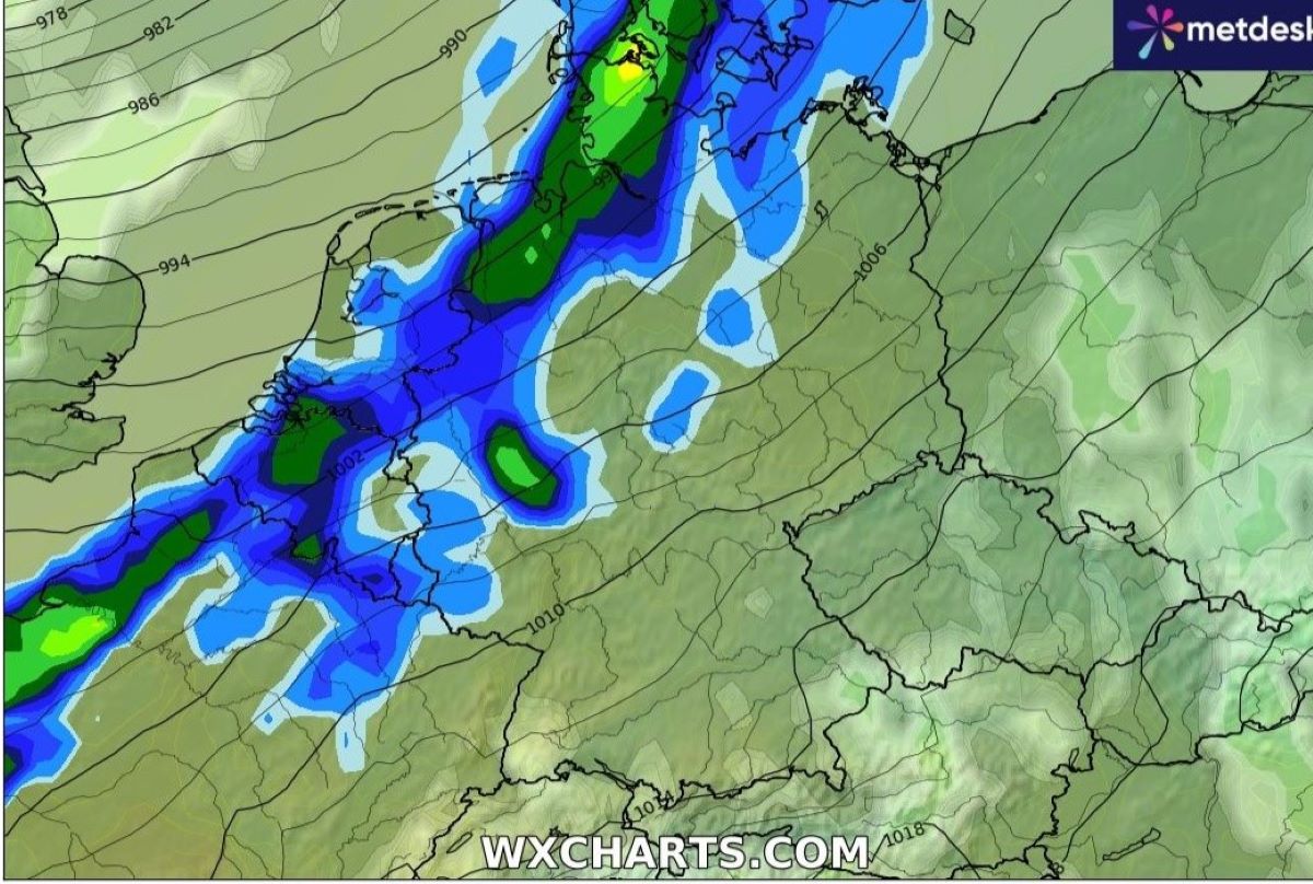
Current forecasts suggest that back to back hurricanes will hit western Europe and then Germany from Thursday night to Tuesday.
Both storms are initially expected to develop into 'bomb cyclones', which is a term for large storms that strengthen immensely within a 24 hour period.
The first is expected to form from Thursday to Friday, and then another from Saturday to Sunday. The storms will come from the west and hit land near Ireland and then northern France before moving east to Germany.
Germany will likely be spared the worst of the storms, but strong winds and rain are expected in North-Rhine Westphalia, Baden-Württemberg and along the northern coast on Friday and Monday.
How will the storms impact Germany??
According to Severe Weather Europe, the first storm – which has been named storm Eowyn – will bring heavy winds and precipitation starting in Ireland and the UK starting on Thursday night.
The centre of the storm is expected to lose strength as it moves over France, but intense squalls will continue over the North Sea and along the coasts nearby.
Meteorologist Dominik Jung of wetter.net suggests wind speeds between 200 and 300 kilometres per hour are possible during the storms, but clarified that Germany will be spared the worst of it.
Still, Jung says, weather in Germany will be "swirled pretty badly".
Storm gusts and precipitation will be felt most in North-Rhine Westphalia, the Upper Rhine region and Baden-Württemberg.
A report by Focus online suggests that winds up to 80 kilometres per hour can be expected from Saarland to Wismar on Friday.
The second storm is expected to hit Germany on Monday. It too will likely bring strong winds and precipitation across Germany but especially in the north and western regions.
As of now, hurricane wind speeds up to 130 kilometres per hour are predicted over the North Sea on Monday and Tuesday.
How big are these storms?
Meteorologists predict the force of storms largely by looking at their core pressure.
The latest measurements suggest that these storms will have core pressure measurements around 950 hPa.
In comparison, Cyclone Lothar, which was thought to be the worst European wind storm of the 20th century, had a core pressure of at least 962 hPa and brought winds up to 151 kilometres per hour to southern Germany.
Storms to bring spring temperatures
Jung predicts that the wind from the storms will also bring warm air masses over much of Germany. So temperatures can be expected to jump up suddenly from Friday.
He predicts daytime temperatures up to 12C on Friday and Saturday, with nigh time temperatures staying above freezing.
But from Sunday, temperatures may drop again, back to around 5C in many places.
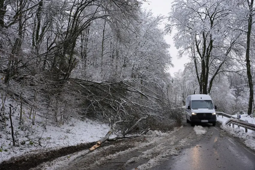
Cold weather and icy roads until the storms arrive
On Wednesday and Thursday, the German weather service (DWD) has issued frost and ice warnings in the low mountain ranges and especially in the higher mountains in the southwest corner of the country.
The DWD also warns about black ice on the roads east and southeast especially on Thursday night.
German law mandates that drivers have winter tyres on their vehicle when driving in freezing conditions.
READ ALSO: What you need to know about Germany's new winter tyre rule
Comments